The Ordnance Survey is Britain’s national mapping agency, but having already mapped most of the country on paper in its 200-year-plus history, it’s turned to Minecraft to recreate the largest of the British Isles.
Britain rebuilds itself with 22 billion ‘Minecraft’ blocks

The world they’ve created is 22 billion blocks big, correlating to 224,000 square kilometers (86,000 square miles) of British terrain. It’s only missing Northern Ireland, the Channel Islands, and the Isle of Man: parts that make up the United Kingdom as a whole, and areas not covered by the mapping agency.
The world they've built is 22 billion blocks big
It was built using two of the Ordnance Survey's in-house mapping tools: OS Terrain 50, and OS VectorMap District. The former is a 3D image of the UK's geomorphic features to a scale of 50 meters; the latter a finer scale model of forests, waterways, and roads. One was layered on the other, and the results were recreated in Minecraft's blocks: cities rendered in brick, forests in shrubbery, and major roads in blue diamond and yellow gold.
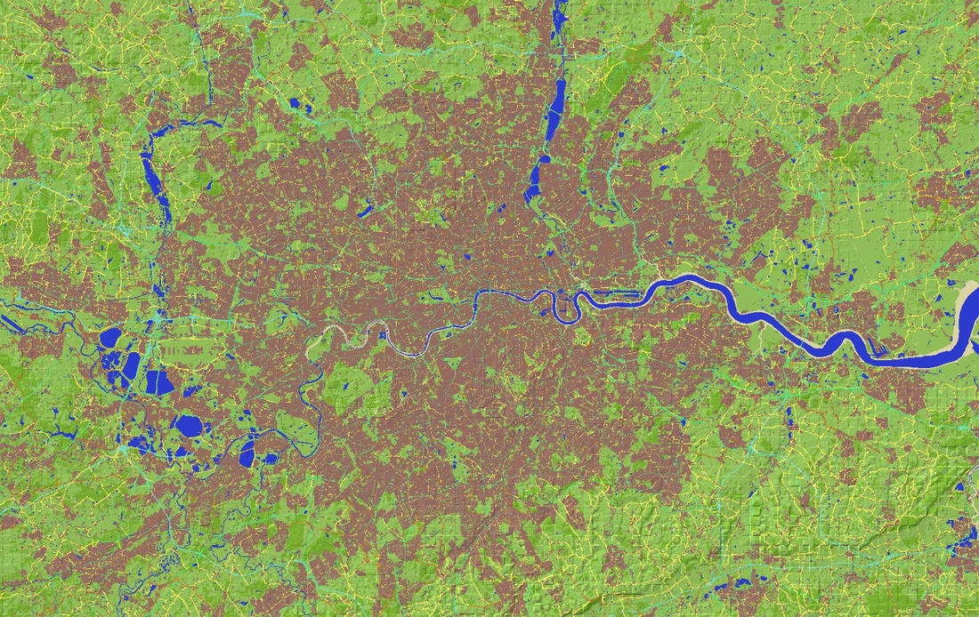
Image created with Chunky Minecraft Mapping tool
Unlike other impressive feats of Minecraft architecture, this map was automatically generated from existing data. Its catalyst — summer Ordnance Survey intern and Minecraft fan Joseph Braybrook — taught himself the relevant Java coding to build the world in two weeks.
Follow topics and authors from this story to see more like this in your personalized homepage feed and to receive email updates.


